
Spartanburg Neighbors by Parcel
A block lookup in Spartanburg County starts with geography. OneMap can show the selected parcel and the polygons that border it. The CAMA layer can supply county parcel fields, while the Register of Deeds can document a selected parcel’s recorded party and instrument trail. City association pages add public civic-contact information. These sources describe parcels, records, or community organizations. They do not create a roll of every person on a block.
| Source | What It Shows About a Block | Access |
|---|---|---|
| OneMap parcel polygons | Adjacent parcel geometry and property, voting-district, or service-district context | Free county map |
| CAMA parcel layer | Parcel identifiers, owner or taxpayer fields, assessment and deed pointers | Free official GIS service |
| Register of Deeds | Recorded parties and document chain for a selected parcel | Free search with historic-index and counter routes |
| City neighborhood associations | Association names and public contact roles | City public page |
| Neighborhood Watch | Program, organizer contact, and community activity context | City program page |
| MySCVotes and voter lists | Individual verified status or ordered eligible-list criteria | Individual check or restricted state program |
Parcel adjacency is not household membership. An owner or taxpayer field can lag the deed and can differ from a property location or mailing field. Association and Neighborhood Watch pages publish civic contacts, not participation rosters. No official county source located a public roll of all current occupants at an address. That boundary is central when comparing property records with claims from a generic neighbor tool.
Center a Spartanburg Neighbor Block
OneMap’s adjacent-parcel method starts with one known parcel. Search by address, parcel number, owner last name, street, or subdivision. Run the search, then select the blue result link to center the selection. From there, use normal map browsing and select the parcel polygons that border the starting parcel. The result is a geographic set of adjacent parcels. It is not a bulk export, a directory of people, or a basis for assuming who stays at each location.
- Search the starting site by the field that is known, then choose the matching result.
- Use the blue result link to center the selected parcel on OneMap.
- Select each bordering parcel and record only its map or parcel identifiers and the labeled county fields.
- Check CAMA for the property location, owner or taxpayer fields, legal description, and deed references.
- Use the deed book/page or instrument number at the Register of Deeds when a recorded-document question remains.
County GIS maintains parcel geometry, road centerlines, street and address data, and the interface that keeps the county 911 database current. That makes an address useful for locating a parcel. It does not change the role of the other records. The Assessor supplies tax context, the Register of Deeds maintains recorded instruments, and a postal label does not decide which office holds the parcel record.
Read Spartanburg Neighbor CAMA Fields
The CAMA Parcels layer has a detailed official field inventory. Its identity and placement fields include MAPNUMBER, PARCELNUMBER, GISParcelNumber, AccountNumber, OwnerName, TaxpayerName, StreetAddress, City, State, Zip, PropertyLocation, street components, Subdivision, LotNumber, LegalDescription, DeedBook, DeedPage, InstrumentNumber, PreviousOwnerName, SaleDate, and SaleAmount. It also carries appraisal, assessment, structure, permit, and public-district fields. Geometry is part of the service.
| Property location or situs | The physical parcel site used to place a record geographically. |
|---|---|
| StreetAddress and tax fields | Mailing or tax context that may differ from the physical parcel site. |
| OwnerName and TaxpayerName | Separate labeled fields that should not be merged into an occupant claim. |
| Legal description | The recorded land wording, often with subdivision, lot, acreage, or related parcel detail. |
| Deed references | Book/page or instrument details that can lead to the recorded document. |
The county notes that its assessor data is not the official ownership record and can take months after a recording to update. The December 31 tax-data control date is another reason to keep a parcel card’s date in view. A detailed field list may show values, permit details, or structure characteristics, but those fields describe county property data. They do not prove current occupancy, association participation, or a personal relationship among people on neighboring parcels.
Follow a Spartanburg Neighbor Parcel Trail
After identifying a neighboring parcel, use its deed book/page, instrument number, legal description, subdivision, or lot at the Spartanburg County Register of Deeds. A document can identify party roles, recording date, instrument type, legal description, and related recorded details. Read the image when the period is available and keep the role visible. A deed chain shows who conveyed an interest. It does not establish who physically occupies the parcel at the present time.
Online image coverage is specific: deeds run from 1970 forward, mortgages from 1990 forward, and plats from 1992 forward. Older index-book links reach to 1785, but they are a different research route with grouped scans and overlapping ranges rather than uniform modern image access. Legal descriptions and plat references can bridge a changed street number better than a casual address match. For an entire named street’s historical chain, use the Street Directory rather than expanding a block check into a street-wide roster.
Find Spartanburg Neighbor Contacts
The City of Spartanburg publishes recognized neighborhood-association names and public contact roles. Those listings can help a person find the appropriate civic channel for a community question. They do not identify association members, property owners, or people who live within an association’s area. The city’s older registered-neighborhood PDF includes additional names but is dated 2019, so its individual contact information should not be treated as current.
The City’s Neighborhoods page is the source for the public civic layer shown below. City Community Relations is the umbrella contact at 864-596-2052; the neighborhood page also lists a Community Relations Manager at 864-596-2905.
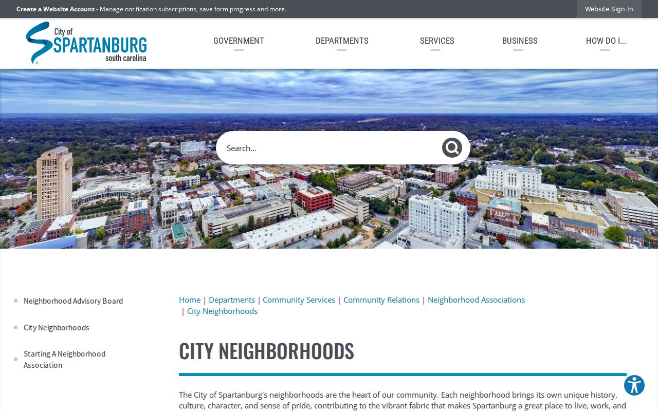
Use the listed role to ask about public community activity or an association’s own contact process. Do not infer participation or residence from a published association name.
Published association names
Beaumont Village, Cleveland Heights-Northside, Converse Heights, and Forest Hills.
Published association names
Forest Park, Hampton Heights, Highland, and Liberty Heights.
Published association names
Maxwell Hills, Park Hills North, Park Hills South, and Pineview Hills.
Published association names
South Converse, Summerhill Estates, White’s Mill, and Woodland Heights.
Keep Spartanburg Neighbor Civic Lists Separate
Neighborhood Watch is a civic contact layer, not a neighborhood roster. The City’s official resources provide program and organizer information for community activity. The same boundary applies to association contacts: a public point of contact is not evidence of membership or residence. City permit material can sometimes document a project or inspection event at a site, but an applicant role is not a resident list either.
Voter data has similarly narrow uses. MySCVotes is an individual name, county, and date-of-birth match, not an unrestricted browse-by-street screen. The state list-sales program can use stated geographic, district, and household criteria for eligible purchasers, but it carries eligibility and use conditions. A voter record can show civic-registration context during a period. It does not reveal ballot choices or every person associated with an address.
Compare Spartanburg Neighbor Sources
Official records identify the office that maintains the record, the field being read, and its date or document role. Generic commercial neighbor tools may combine address fragments and associations from many sources, often without showing the original custodian or update history. They can be a starting point for a question, but they cannot resolve a conflict in a county parcel card, a deed image, or a court record. Do not rely on a combined display to claim current occupancy.
| Official parcel and deed records | Identify geography, labeled fields, recorded parties, dates, and source-specific limits. |
|---|---|
| City civic pages | Provide a public association or program contact, not membership information. |
| Generic commercial neighbor tools | May aggregate stale or unverified associations and should be checked against the custodian’s record. |
For a correction in an original record, contact the custodian that maintains it. A removal request to a commercial publisher only affects that publisher’s display. It does not amend a Register of Deeds instrument, county assessment data, a voter record, or a court file.
Respect Spartanburg Neighbor Privacy
Address protections can explain why a public display is incomplete. South Carolina’s Address Confidentiality Program gives eligible participants a designated substitute address for use with state, county, city, and court agencies. It is free and forwards specified mail, but it does not erase information already public or require private companies to accept the substitute address. The program is for eligible participants under state law, not a device for tracing people through a block.
The South Carolina Attorney General’s Address Confidentiality Program provides the source view below. A substitute address should be respected wherever it appears in an official process.
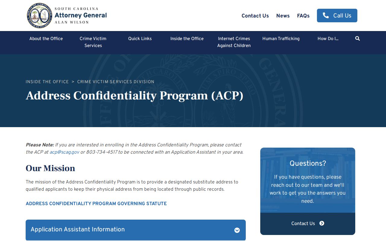
Protected information is not a gap to fill with address fragments from other sources. Utility customer and delivery information are not general public-address directories, and no parcel field should be used to infer a protected person’s current location.
The Judicial Branch’s privacy-protection information documents the January 1, 2026 process for qualifying active or former judges and local certified law-enforcement officers. The Public Index no longer displays home addresses for new and existing cases. Sealed cases, confidential reference lists, and properly redacted material have separate protections.
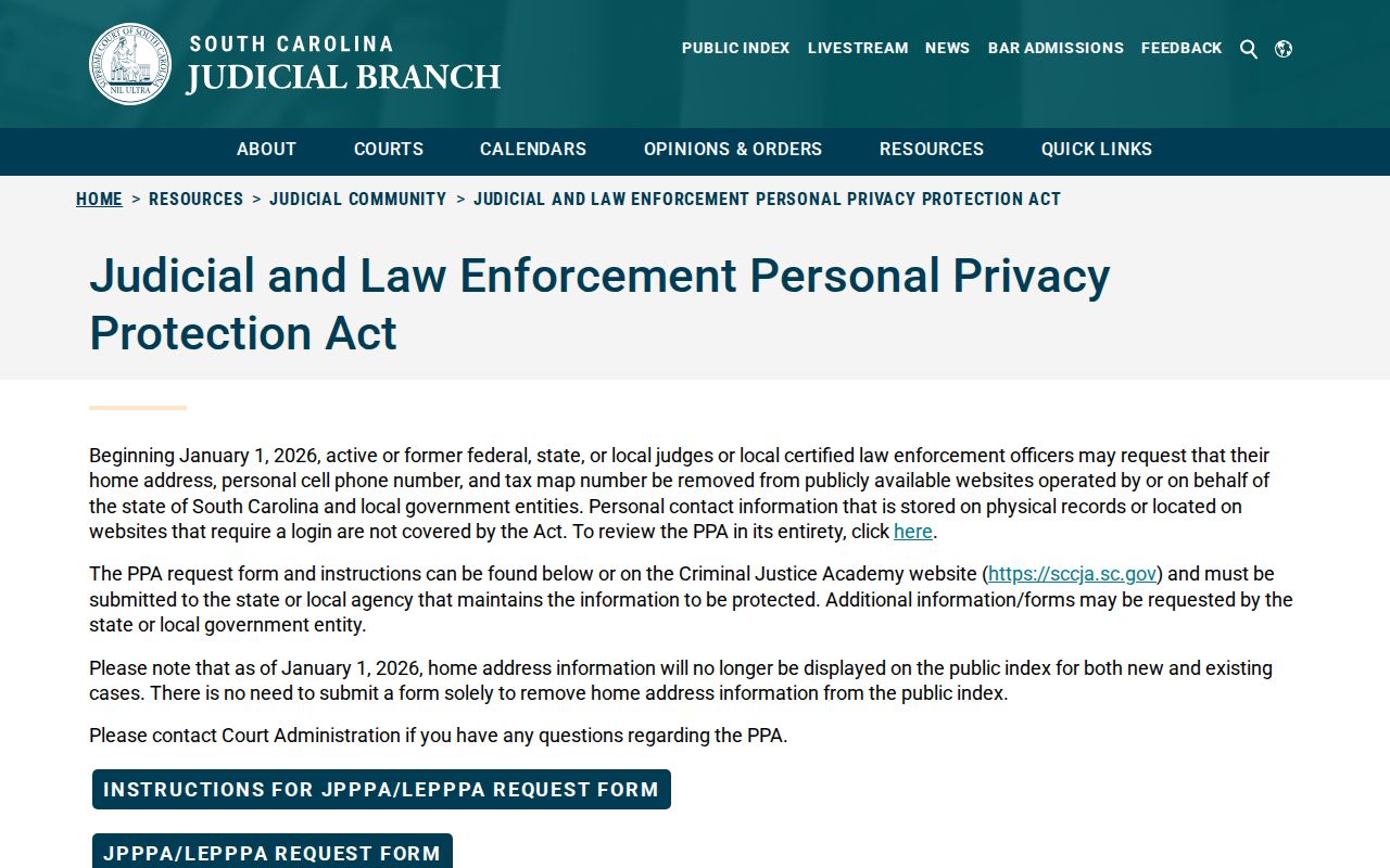
A missing address in a court or government display may therefore be a lawful protection rather than a records error. A South Carolina Freedom of Information Act request cannot override those distinct limits.
Keep Spartanburg Neighbor Claims Narrow
A postal community is also not a municipal boundary or a records-custodian boundary. The county Postal Communities layer shows that ZIP 29385 has Lyman and Wellford labels, while 29388 has Fingerville and Woodruff labels. Greer’s 29651 postal area reaches Spartanburg County despite its cross-county geography. Those facts help place an address, but the parcel’s county record remains with the appropriate county office.
Property neighbors are parcel neighbors. Recorded parties are document participants. Association and watch contacts serve civic roles. None of those labels makes a complete household directory. Record the source and date for a block question, and leave anything unconfirmed as unconfirmed.
Lawful use. Use Spartanburg neighbors research for personal, historical, civic, or safety questions that respect privacy and source limits. Do not use a block result to stalk, harass, threaten, or harm any person.