
Walk a Spartanburg Street Directory from Address to Record
For a street-by-street question in Spartanburg County, begin with the site rather than a name. County GIS can locate an address or a street, and the selected parcel provides identifiers that travel well across county systems. Record the property location, map or parcel number, legal description, deed book and page, instrument number, and sale date before opening another source. Those details make it possible to test whether a document concerns the same land. They do not turn a property result into a complete household list.
- Search the address or street name in OneMap and select the matching parcel.
- Note the CAMA parcel identifiers, property location, owner and taxpayer fields, and deed pointers.
- Use the deed book, page, or instrument number in the Register of Deeds index.
- Compare the recorded legal description, subdivision, lot, or plat with the parcel record.
- For a dated household clue, consult the relevant historical directory year and retain its page citation.
That order is deliberate. A current property record and a historical publication answer different questions. When the question becomes how to verify one identified individual instead of how a parcel fits on a street, use the Spartanburg resident lookup workflow.
Spartanburg Street Directory Mapping Begins in OneMap
The county’s Spartanburg County OneMap is the practical front door for an address trail. Its Search tab supports a parcel number or owner last name, plus Street Name, Address, and Subdivision Name. After entering a term and choosing Run Search, the blue result link moves the map to the selected parcel. The map also provides property, voting-district, service-district, and physical-geography context. Its strength is geographic identification, so use it to distinguish similar street names and locate parcel boundaries rather than infer who is inside a building.
See the county’s official CAMA parcel layer before relying on a field label.
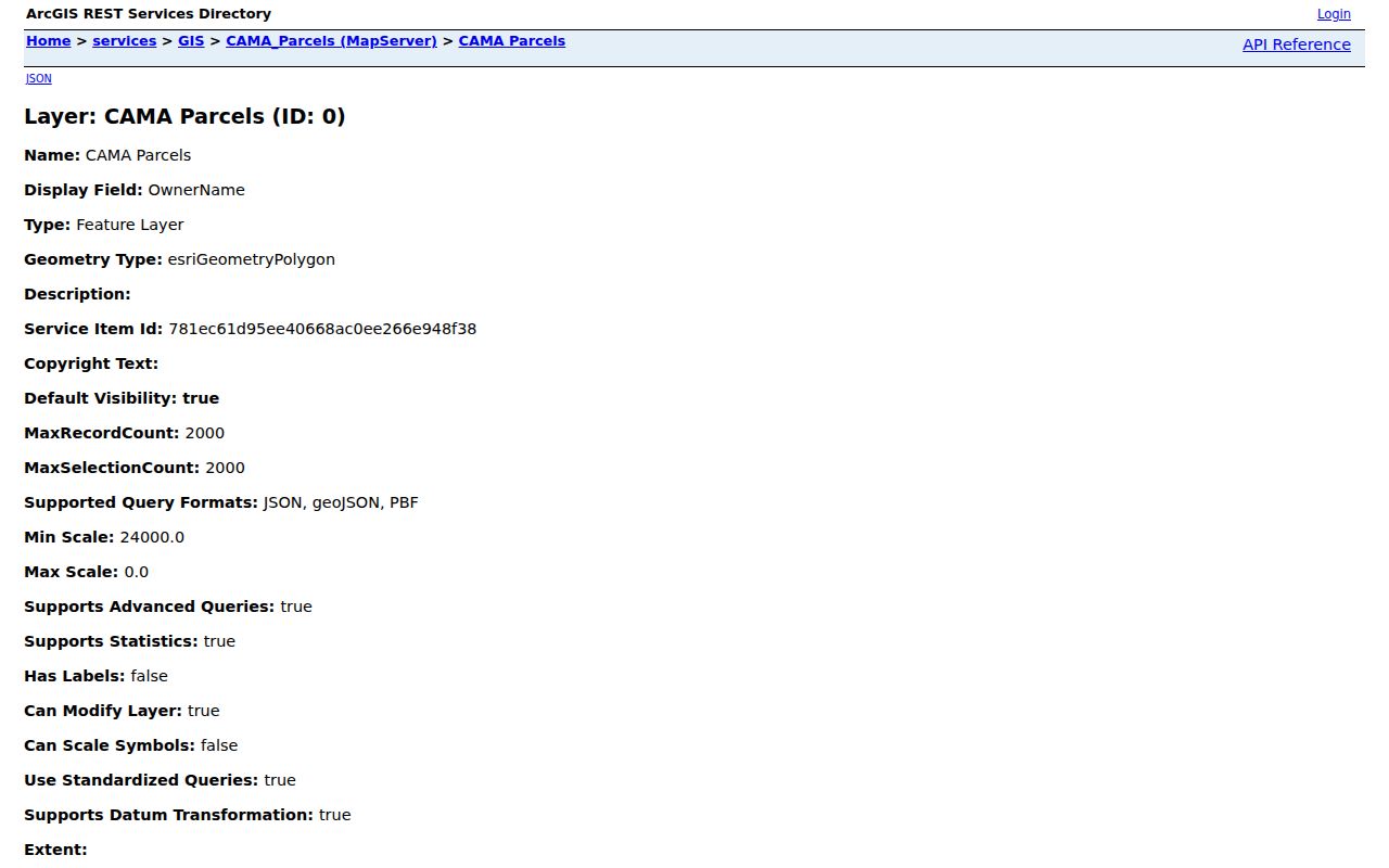
The CAMA layer is a useful bridge between a mapped polygon and the property fields attached to it, but the field set does not identify every person associated with an address.
Spartanburg Street Directory Search Fields for a Parcel
The Spartanburg County Assessor Property Records Search / QPublic is the county’s public tax and valuation route. County instructions document several ways in: parcel number, owner last name, street name, a specific address, and subdivision name. Start broad enough to find the correct site, then rely on the selected result and its map link. The county describes the assessor record as a tax source, not the controlling ownership record, so a match should lead to a deed check.
| County method | Input | Best use | Result step |
|---|---|---|---|
| Find a Parcel | Parcel number | Reach a known parcel directly | Open the selected record |
| Owner Last Name | Text | Find a tax-record party | Compare the property location |
| Street Name | Text | Start a named-street review | Choose the right numbered site |
| Address | Text | Find a specific situs | Check parcel and deed pointers |
| Subdivision Name | Text | Connect lots with a mapped development | Compare the legal description |
| Map selection | Click or select | Inspect a neighboring mapped parcel | Open its property information |
The CAMA schema supplies more than a display address. It includes map, parcel, account, owner, taxpayer, property-location, street, subdivision, lot, deed, instrument, sale, valuation, structure, and permit fields. Reading those categories separately makes a by-address search more accurate and less likely to overstate what a result establishes.
Three Spartanburg Address Clues That Do Different Work
A property location, a tax mailing field, and a legal description can all appear near each other in county data, yet they are not interchangeable. The CAMA layer separates OwnerName from TaxpayerName and lists StreetAddress, City, State, and Zip alongside PropertyLocation. A mailing or taxpayer field is useful tax correspondence context. It is not a finding that a particular person lives at the site. The legal description, often joined to subdivision and lot information, is the durable comparison point when an address is old, incomplete, or newly assigned.
Address terms. A parcel is the mapped unit of land used in county property systems. A situs address or property location identifies the physical site. A plat depicts recorded lot or subdivision geometry. A criss-cross directory is an address-arranged directory that can provide a dated publication clue.
County GIS assigns and maintains structure addresses, street data, road centerlines, and address ranges as part of its local addressing work. That is why an ordinary address is a good way into OneMap. For a historical land question, confirm the recorded description, lot, block, acreage, or boundary wording through the deed path.
Spartanburg Street Directory Records Along One Address
No single office keeps a universal address-based resident roll. The useful Spartanburg County records are complementary: map and tax data identify a parcel, the deed index identifies a recorded transaction, and historical materials add dated context. The table separates what each record set can show from its limits so a street directory search stays tied to the right kind of evidence.
| Address record | Local keeper | What it can add | Important boundary |
|---|---|---|---|
| Assessment parcel record | County Assessor / QPublic | Owner, taxpayer, mailing fields, situs, map numbers, values, sale and deed references | Tax data can lag the deed |
| CAMA map layer | County GIS | Mapped parcel plus owner, legal, subdivision, lot, valuation, and deed fields | A parcel is not a household list |
| Deed, mortgage, or plat | Spartanburg County Register of Deeds | Recorded parties, dates, legal description, book/page, instrument, and image status | A deed does not prove physical occupancy |
| Historic conveyances | SC Archives and ROD old indexes | Earlier transfer, mortgage, plat, and instrument trail | Index groups overlap and must be read by period |
| Permit records | City or county development systems | Property-event and inspection context where applicable | Listed roles are not a resident list |
| Probate files | Spartanburg County Probate Court | Estate and heir proceeding context | Physical files require an appointment |
Spartanburg Street Directory Deed Pointers and Party Roles
Move from the assessor’s DeedBook, DeedPage, or InstrumentNumber to the Spartanburg County Register of Deeds portal. Its Name mode has Standard and Contains Text choices, date or name sorting, both-party or role-specific choices, an Exact Match option, and category filters. Party 1 is the grantor role and Party 2 is the grantee role. Searchers can also use Book/Page, Instrument #, Instrument Types, Financing Statement, Old Index Books, and Temp Index modes. A date window and document category help keep a broad name search manageable.
Online copies are free for the county’s published image periods. When a document is outside that coverage, the Register of Deeds invites contact; its counter is open Monday through Friday, 8:30 a.m. to 5 p.m. Copies can also be requested by mail with the book and page and a check payable to the Spartanburg County Register of Deeds. The copy sheet lists $0.50 per page and a $10 flat charge for each certified document. The office cannot provide legal advice or conduct title, restriction, or lien searches.
View the county’s Register of Deeds services page for the official service context.
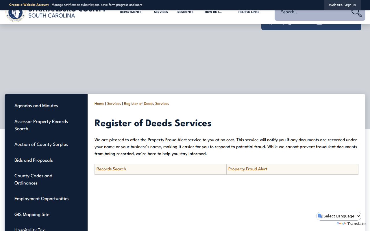
The result grid can expose recording date, book or file number, document type, legal description, searched party, reverse party, cross-reference, and image status. Read the actual document where an image is available.
How Old Index Books Extend a Spartanburg Street Search
The modern image windows are useful but not the start of the county’s recorded-land history. The Register of Deeds identifies deed images from 1970 forward, mortgage images from 1990 forward, and plat images from 1992 forward. Its Old Index Books also list historical deed and deed-index groupings for 1785-1919, 1919-1959, 1923-1969, 1960-1969, and 1976-1979, as well as older mortgage and plat groups. These are period-specific index routes, not a claim that each historic document is fully imaged online.
The portal’s Temp Index is explicitly only a partial list of documents being processed, and indexes remain in quality control. Treat it as a prompt to check the dated index group and recorded record, not as a final answer. For early conveyances, the South Carolina Archives guide identifies Spartanburg County conveyance books from 1785 to 1911.
Using a Dated Street Section for Past Context
The historical household layer belongs to a particular publication year. SCPL’s digitized collection includes the 1880-81 Spartanburg and Greenville volume and selected Spartanburg volumes through 1956. Its description confirms both alphabetical listings and ordered street addresses. Find the address in the street section, record the year and page, and compare another available volume before drawing a conclusion about a move or a gap. The complete collection guidance is available through the Spartanburg directory book.
The Kennedy Room’s physical collection may hold additional items, but staff should confirm the specific shelf run. Appointments are recommended, and its remote research-request form can check named land, probate, and newspaper indexes when an identified source is not online. Fire Insurance Maps Online, available through SCPL Learning Tools with coverage varying by city, adds street, lot, and building context rather than a household identity. Pair those dated sources with the recorded parcel trail instead of using either one alone.
Spartanburg Street Directory Permit Events by Address
Inside City of Spartanburg limits, Building Inspections provides links for issued permits, certificates of occupancy, and construction-related categories. The city lists Building, Electrical, Plumbing, Mechanical, Demolition, Street cuts, Grading, Fire suppression, Sprinklers, Fire alarms, and Moving. A permit can date an event at a site and can identify an application role. It does not establish present residency, ownership, or the full history of a structure. County development work uses a separately linked Citizen Self Service route, whose detailed fields require live interactive inspection.
This is a useful supporting layer after the parcel and deed match. Preserve the permit number, date, and category from a live result, then compare it with the property location and legal description. The official CAMA field inventory itself includes PermitType, PermitDate, PermitValue, and PermitNumber, but those fields still require source-by-source reading.
Why a Spartanburg Street Directory Is Not a Voter Browse
MySCVotes / Check My Registration is an individual match service, not an open street browse. The state route requires a name, county, and date of birth as shown on the registration card. It can then provide the matched person’s registration tools, sample ballot, polling place, voting history, absentee-ballot, and provisional-ballot tools in the verified environment. South Carolina does not use party registration, and the process should never be represented as a way to identify every person on a street.
The state’s paid voter-list program is a separate, eligibility-limited public-record route. Its criteria can include county, voting district, age, sex, race, household, participation, and registration date, while purchase requires a registered South Carolina voter. The program also carries a state warning against commercial solicitation using personal information obtained from a public body. For a current boundary question, Spartanburg County Registration and Elections can explain precinct or district context by phone or at its office. A written county request can use the FOIA channel for non-exempt county-held material, subject to election law and the list-sales framework. Historical poll books were not located in a specific online county collection, so the Kennedy Room and SC Archives are the documented fallback for a named historical election-record series.
A Tax-Control-Date Caution for Spartanburg Address Research
Assessor data refreshes daily with information processed the preceding day, yet it can still lag a recorded transfer or plat for months. The county says real-estate tax status is based on the December 31 control date and regular mailings go to the owner of record on that date. A transfer during the current tax year normally does not appear until the next tax year. This is why an apparently current tax result should be checked against the Register of Deeds record before it is described as ownership.
Use the tax record for parcel and valuation context, not title proof. A careful by-address review records the difference rather than trying to reconcile it by assumption. That small distinction is especially important where the taxpayer or mailing information differs from the physical property location.
What a Spartanburg Street Directory Cannot Establish
Even a detailed map and deed trail cannot supply an official roll of every current occupant or household member at an address. Driver information is protected, and utility or delivery-customer data are not a general public address directory. Address Confidentiality Program participants, qualifying judicial or law-enforcement privacy requestors, sealed court participants, and records with proper redactions can have additional safeguards. A missing address may be a lawful protection rather than a data error.
Read the county’s South Carolina Freedom of Information Act (FOIA) information before making a records request.
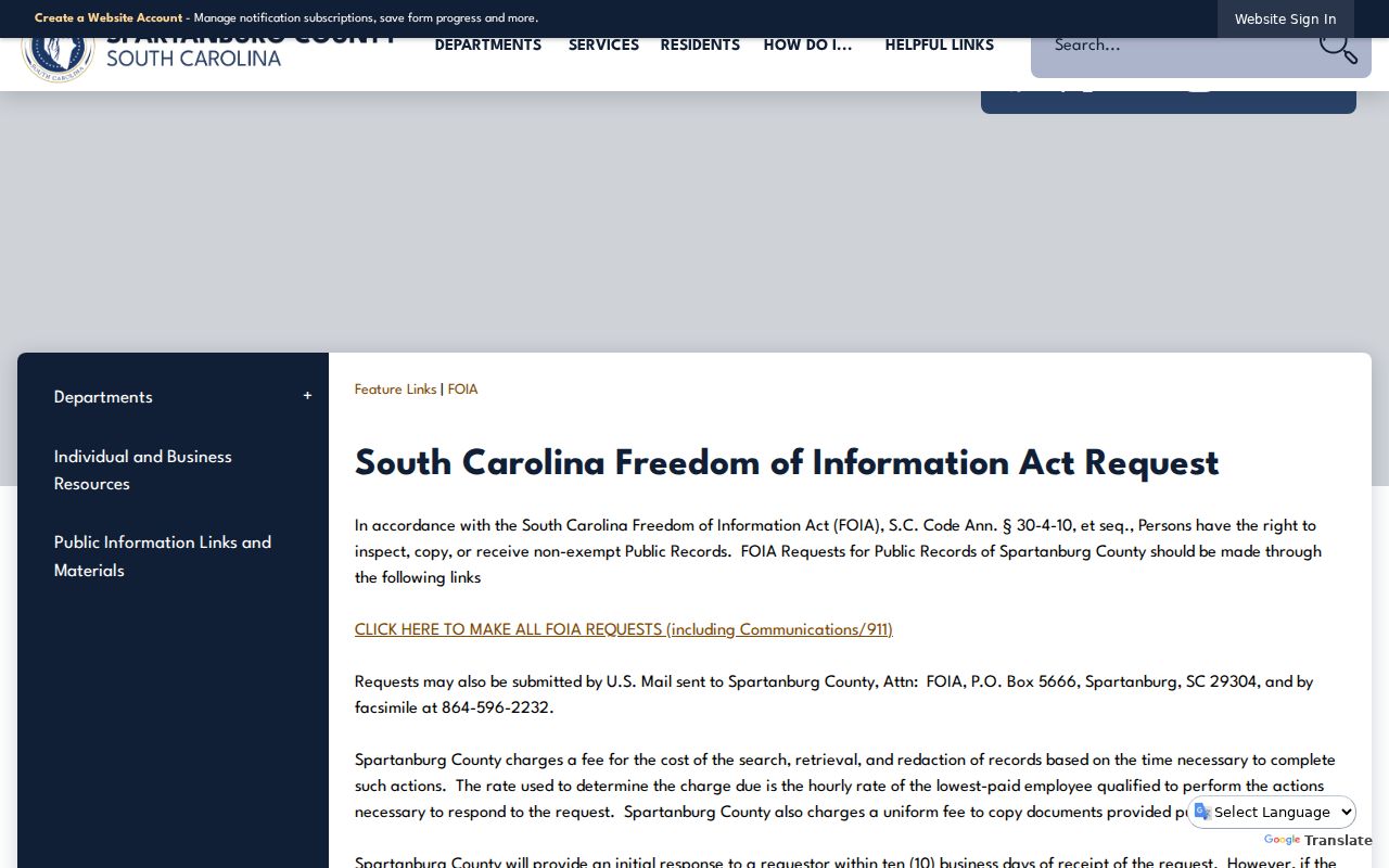
The FOIA channel is for non-exempt county-held material and does not override privacy statutes, sealed records, or a custodian’s limits on what can be released.
Lawful use. Use Spartanburg County address records for lawful personal research, property history, and civic understanding. Do not use information from them to stalk, harass, intimidate, or harm any person.