
Spartanburg ZIP Code Coverage
Spartanburg County GIS maintains the county's Postal Communities layer. It is a county geographic source, not a generic list of nearby ZIPs. Its records include the postal-community label, ZIP, county, state, and postal city. The coverage below reports every delivery-community combination identified for Spartanburg County. The post-office column uses the county layer's postal-city wording. It is not a statement of city limits or an assertion that every address within a postal area receives the same delivery designation.
| ZIP | Areas Covered | Post Office | Notes |
|---|---|---|---|
| 29301 | Spartanburg community | Spartanburg | County postal polygon; not necessarily City of Spartanburg limit. |
| 29302 | Spartanburg community | Spartanburg | Separate polygon from other Spartanburg ZIPs. |
| 29303 | Spartanburg community | Spartanburg | Current separate county GIS record. |
| 29306 | Spartanburg community | Spartanburg | Central postal-community geography; verify an individual delivery address. |
| 29307 | Spartanburg community | Spartanburg | Includes the South Carolina Department of Public Health regional-office postal label. |
| 29316 | Boiling Springs community | Boiling Springs | Postal community, not an incorporated-city conclusion. |
| 29320 | Arcadia community | Arcadia | County postal polygon. |
| 29322 | Campobello community | Campobello | County postal polygon. |
| 29323 | Chesnee community | Chesnee | County postal polygon. |
| 29324 | Clifton community | Clifton | County postal polygon. |
| 29329 | Converse community | Converse | County postal polygon. |
| 29330 | Cowpens community | Cowpens | County postal polygon. |
| 29331 | Cross Anchor community | Cross Anchor | County postal polygon. |
| 29333 | Drayton community | Drayton | County postal polygon. |
| 29334 | Duncan community | Duncan | County postal polygon. |
| 29335 | Enoree community | Enoree | County postal polygon. |
| 29346 | Glendale community | Glendale | County postal polygon. |
| 29349 | Inman community | Inman | County postal polygon. |
| 29356 | Landrum community | Landrum | County GIS also identifies Landrum in Greenville County. |
| 29365 | Lyman community | Lyman | County postal polygon. |
| 29368 | Mayo community | Mayo | County postal polygon. |
| 29369 | Moore community | Moore | County postal polygon. |
| 29372 | Pacolet community | Pacolet | County GIS also identifies Pacolet polygons in Cherokee and Union counties. |
| 29374 | Pauline community | Pauline | County GIS also identifies Pauline in Union County. |
| 29375 | Reidville community | Reidville | County postal polygon. |
| 29376 | Roebuck community | Roebuck | County postal polygon. |
| 29377 | Startex community | Startex | County postal polygon. |
| 29378 | Una community | Una | County postal polygon. |
| 29385 | Lyman community; Wellford community | Lyman | One ZIP with two county community labels. |
| 29388 | Fingerville community; Woodruff community | Woodruff | One ZIP with two county community labels. |
| 29651 | Greer community | Greer | Cross-county postal geography reaches Spartanburg County. |
The following image comes from the official Spartanburg County Postal Communities GIS query.
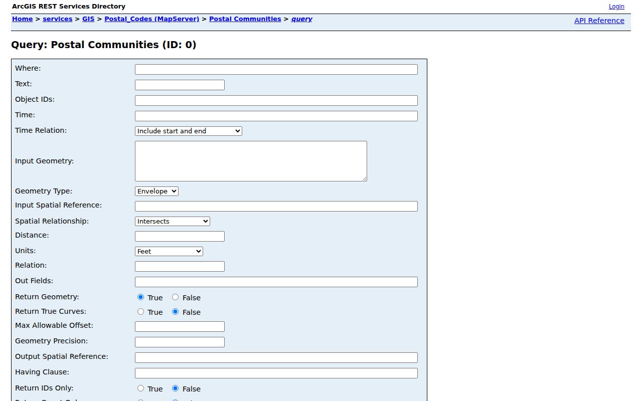
Its layer is useful for county postal geography, while a delivery ZIP still must be tested against the full mailing address.
Spartanburg ZIP Code Communities
The five Spartanburg postal areas, 29301, 29302, 29303, 29306, and 29307, share the same postal-city label but are separate county GIS polygons. That is a useful warning against treating a single postal name as one records district. Spartanburg County departments keep county records by their own jurisdiction and record type. A ZIP label can help organize a search area, but it does not replace a parcel number, legal description, case number, or recorded document reference.
Two entries need special care. ZIP 29385 appears with both Lyman and Wellford community labels. ZIP 29388 appears with both Fingerville and Woodruff labels. The layer describes those combinations rather than choosing one local identity. These local geography examples show why the county's actual postal-community data should not be flattened into a single city name.
Note: Postal-city wording supports delivery context, but county record custody follows the parcel and the responsible public office.
Finding Spartanburg Residents by ZIP
A ZIP can narrow an address question, but it should not be used as a stand-alone resident list. Start with the physical address and the county postal-community record, then validate the actual mailing ZIP. After that, use the county geographic and property information for the particular parcel or street. The Assessor Property Records Search / QPublic entry point and County OneMap use documented parcel, owner-last-name, street, address, and subdivision methods. The research did not locate an exposed QPublic ZIP filter, so it should not be represented as a ZIP-search screen.
- Read the county Postal Communities layer for the ZIP's community and postal-city context.
- Check the full address with the USPS tool before relying on a delivery ZIP.
- Use an address, street, subdivision, parcel number, or owner last name in the documented county property and OneMap search methods.
- Read the selected parcel's location, map or parcel identifier, legal description, and deed references as separate fields.
- Open the Register of Deeds record from a confirmed deed book, page, or instrument reference when a recorded-property question remains.
Once a ZIP has narrowed the area, the Spartanburg street directory offers the address-focused sequence. The county GIS record can identify geography and parcel attributes. It does not establish every person connected to an address.
MySCVotes / Check My Registration is not another ZIP browser. Its individual verification route requires a name, county, and date of birth matching the registration card. The state voter-list sales program uses eligibility-limited criteria that can include county and voting districts, among other fields, but the research did not identify an open browse-by-ZIP voter screen. Use postal geography to understand an area, then use the official service only for its documented purpose.
Spartanburg CAMA ZIP Code Fields
The official County CAMA Parcels layer is technically ZIP-capable because its published schema contains both Zip and StreetZip. It also separates owner and taxpayer names from placement fields such as StreetAddress, City, State, and PropertyLocation. ArcGIS query controls can filter official layer attributes, but that fact does not convert the regular QPublic search screen into a documented ZIP filter. Keep the interface and the field schema distinct.
| CAMA field | What the official schema identifies |
|---|---|
| Zip | ZIP attribute in the county CAMA parcel data. |
| StreetZip | ZIP attached to the parsed street fields in the same official layer. |
| StreetAddress, City, State | Tax-oriented mailing or contact fields, distinct from the physical parcel location. |
| PropertyLocation | The parcel's situs or physical location field. |
| MapNumber, ParcelNumber, GISParcelNumber | County parcel identifiers that support a specific property match. |
| LegalDescription, Subdivision, LotNumber | Land-description context that can outlast a postal wording change. |
| DeedBook, DeedPage, InstrumentNumber | Pointers for checking a recorded document with the Register of Deeds. |
The source image below comes from the Spartanburg County GIS department.

County GIS is the address and geographic authority, while the Register of Deeds remains the official recorded-document office for ownership records.
Spartanburg ZIP Code Mismatches
ZIP boundaries and municipal boundaries answer different questions. The county layer shows Greer 29651 within Spartanburg County even though Greer spans county lines. It also identifies Landrum 29356 beyond one county, Pacolet 29372 with Cherokee and Union County polygons, and Pauline 29374 with a Union County polygon. Those postal relationships do not move a Spartanburg County parcel into another county's records system. They only describe postal-community geography.
- ZIP code
- A postal delivery area or label, not a legal boundary or property description.
- ZIP+4
- An added delivery segment used by USPS for a more precise mailing route than the five-digit ZIP.
- PO-box ZIP
- A ZIP used for postal-box delivery. It should not be assumed to identify the physical parcel location.
- Carrier route
- A USPS delivery grouping that is narrower than a general ZIP but is not a county records jurisdiction.
- Situs
- The physical parcel location, distinct from a mailing field and from the recorded legal description.
Spartanburg Address Range Authority
Spartanburg County GIS assigns structure addresses to plats and subdivisions during land-development and building-permit work. It maintains addresses, streets, digital parcels, and road centerlines, and works with INTRADO to keep the county 911 database current. Its Addressing Inquiries tool searches available road names, subdivision names, valid addresses, and address ranges. That makes the GIS office the appropriate place for an address-range or road-name question.
Different offices answer the next questions. The Assessor supplies tax-record context. The Register of Deeds supplies recorded documents. USPS confirms delivery ZIPs for a particular mailing address. When older addresses do not line up with current geography, compare street names, plats, legal descriptions, and dated records instead of inventing a conversion. The research found no verified countywide ZIP split or realignment year, and no countywide street-renumbering year.
Spartanburg ZIP Code Custodians
For a modern parcel, the county property and GIS sources can establish where to focus a search. The county's Assessor Property Records Search / QPublic is a public entry point for documented owner-last-name, parcel, street, address, and subdivision searches. Tax information can lag a recorded transfer for months and is tied to the December 31 control date. The county says a deed, rather than the tax record, is the official ownership record.
Move a confirmed book, page, or instrument reference to the Spartanburg County Register of Deeds when the recorded document is needed. Its free online images cover deeds from 1970 forward, mortgages from 1990 forward, and plats from 1992 forward. Historical index books extend the name and book-page route further back, but they are not the same as complete modern image coverage. A ZIP does not change which custodian keeps the parcel's records.
Note: Check the records office responsible for the parcel, even when a postal city or ZIP appears to point elsewhere.
USPS Spartanburg ZIP Verification
The county layer gives polygon and community context. The USPS ZIP Code Lookup is the final individual-address check because delivery routes can differ from a countywide postal polygon or a familiar city label. Enter the complete mailing address before using a ZIP in a property or records search. That order reduces false matches when addresses sit near a community, county, or city boundary.
The source image below comes from the official USPS ZIP Lookup service.
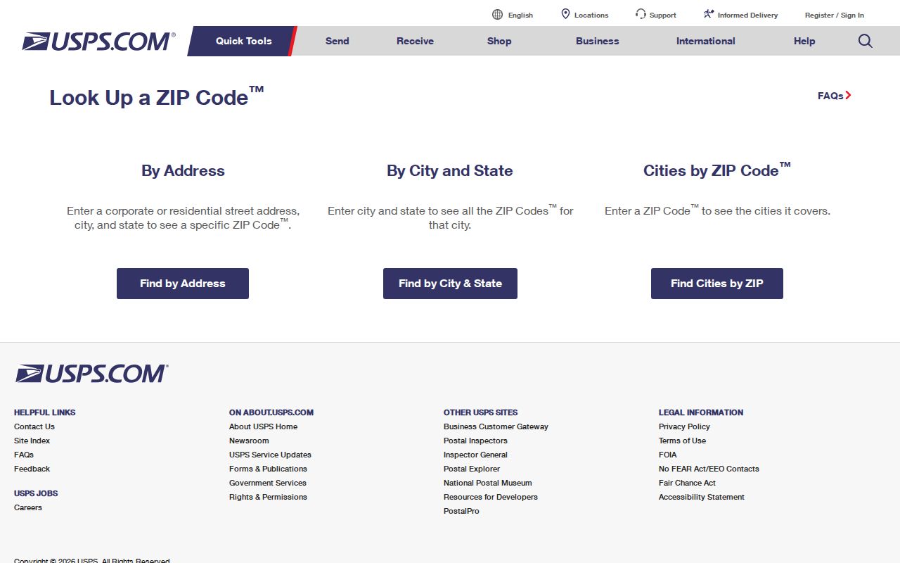
USPS verification confirms delivery information for the address entered, while the county layer and parcel records explain its Spartanburg County geographic and records context.